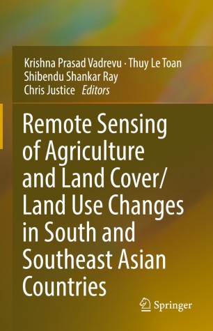
Major work on Remote Sensing of Agriculture in South/Southeast Asian Countries Published - Springer

Book highlights
-An in-depth focus on remote sensing in agriculture in South/Southeast Asian countries.
-Provides the latest algorithms, tools, and techniques in remote sensing specific to agriculture.
-Offers methodologies to aid the development of operating tools for crop mapping and monitoring.
-Contributions from regional space agency scientists on agriculture/crop monitoring from NASA LCLUC agriculture projects, NASA Harvest, JAXA (Japan), GISTDA (Thailand), ISRO-Mahalonbis Crop Forecasting Center, Ministry of Agriculture (India), International Rice Research Institute (IRRI, Philippines), etc.
-Covers popular rice mapping and monitoring international projects in the region such as Asia-Rice (with more than 15-countries), RIICE-from Sarmap (SAR data activities in different countries), Phil-Rice from International Rice Research Institute (IRRI, Philippines, CGIAR), and several other independent studies.
-Total Chapters: 34
-Total Authors: 200
-Total US authors: 55
-Total pages: 607
-Total illustrations: 224 (217colored; 17-black and white)
Doi - https://doi.org/10.1007/978-3-030-92365-5 -https://link.springer.com/book/10.1007/978-3-030-92365-5
