Recent And Upcoming Missions And Data

September 05, 2024
Natural lands around the world are being…

May 06, 2024
The first informal meeting on the idea of combining Landsat and Sentinel-2 data for improving science and applications by reducing the gaps in observations started in a small room at UMD with…

April 05, 2023
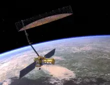
The NASA-ISRO SAR (NISAR) is a joint project between NASA and ISRO, with contributions from other agencies and organizations in the US and India. The NISAR mission will measure Earth’s changing…

December 22, 2022
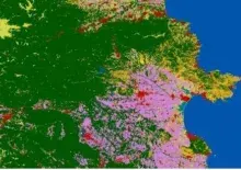
An updated Global Land Cover Map at 10m Resolution for 2021
With an ever-changing environment, more than ever governments, businesses and individuals need high-…

July 27, 2022
The ESA WorldCover Team is proud to announce the successful development of a new baseline global land cover product at 10m resolution that is developed and validated in almost near-real time and…

April 03, 2022
Through Norway’s International Climate & Forests Initiative (NICFI), users can now access Planet’s high-resolution, analysis-ready mosaics of the world’s tropics in order to help reduce and…
Pagination
- Page 1
- Next page