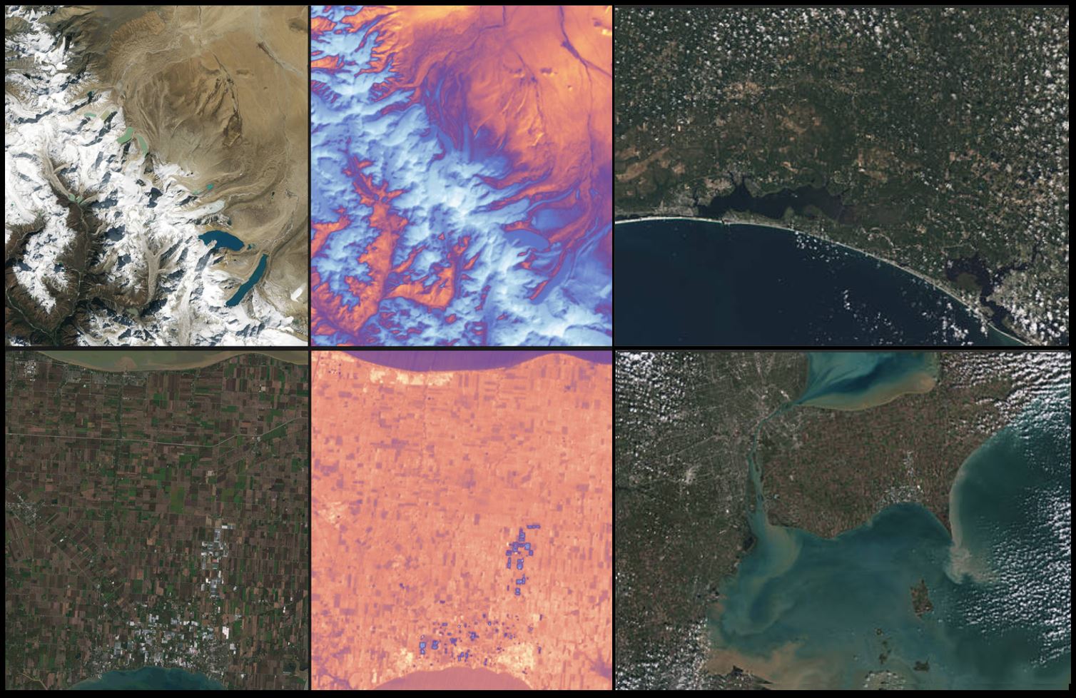
NASA, USGS Release First Landsat 9 Images
Landsat 9, a joint mission between NASA and the U.S. Geological Survey (USGS) that launched Sept. 27, 2021, has collected its first light images of Earth.
The images, all acquired Oct. 31, are available online. They provide a preview of how the mission will help people manage vital natural resources and understand the impacts of climate change, adding to Landsat’s unparalleled data record that spans nearly 50 years of space-based Earth observation.