Esri Releases New 2020 Global Land Cover Map
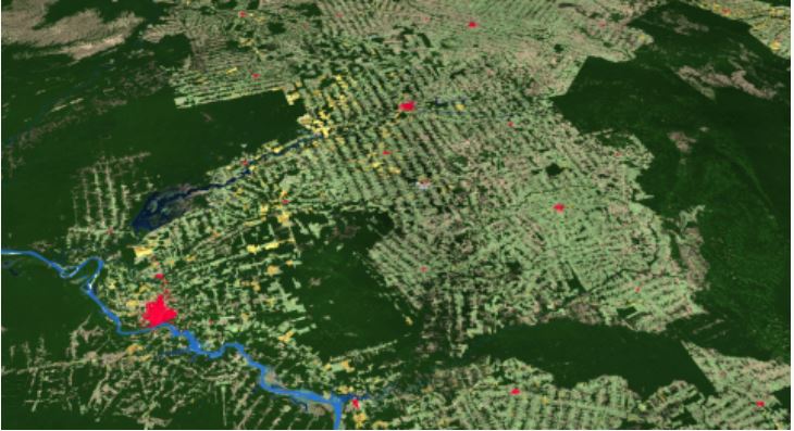
Esri releases first-ever high-resolution (10-meter), 2020 global land cover map. The map was built using European Space Agency (ESA) Sentinel-2 satellite imagery and developed using a new machine learning workflow teaming with new Esri Silver Partner Impact Observatory, as well as long-time partner Microsoft. The map is available in ArcGIS Online as a map service. It is also available for download and viewing. To explore the new 2020 Global Land Cover Map, visit livingatlas.arcgis.com/landcover.
(Photo: Business Wire)