ESA WorldCover 2020 Dataset : 10m resolution
The ESA WorldCover Team is proud to announce the successful development of a new baseline global land cover product at 10m resolution that is developed and validated in almost near-real time and at the same time maximizes the impact and uptake for the end users.
Inspired by the 2017 WorldCover conference organized by ESA, the cardinal requirements of the WorldCover project are:
- fast generation and validation of a world land cover based on Sentinel-2 and Sentinel-1 constellations
- 10 land cover classes
- 10 meters resolution
- 75% overall accuracy
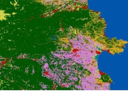
The WorldCover products are delivered in a regular latitude/longitude grid (EPSG:4326) with the ellipsoid WGS 1984 (Terrestrial radius=6378 km). The legend includes 11 generic classes that appropriately describe the land surface at 10m: "Tree cover", "Shrubland", "Grassland", "Cropland", "Built-up", "Bare / sparse vegetation”, “Snow and Ice”, “Permanent water bodies”, “Herbaceous Wetland”, “Mangrove” and “Moss and lichen".